
Travel & Navigation
How Deep?
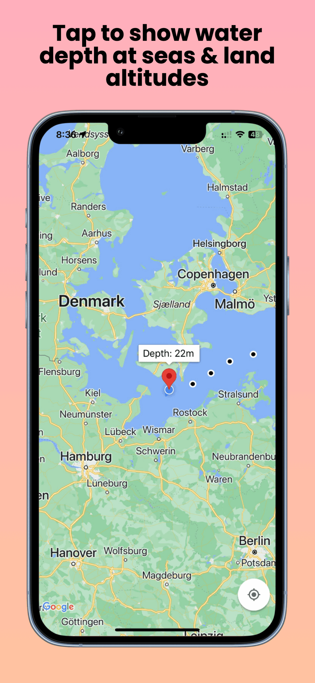
Tap the map to see sea depth or land altitude
Tap on the map to show sea depth or land altitudes. Perfect for cruises and hiking trips. It can also capture your travel trails in the background (optionally) to show breadcrumbs on your map. Data source: Google Maps Elevation API.
Features
- Sea depth and land altitude on tap
- Optional background trail recording
- Google Maps Elevation API data